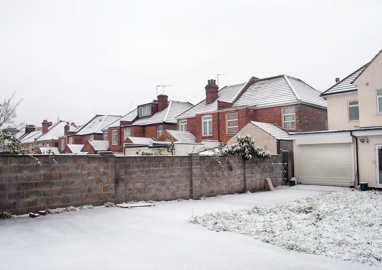


The UK is forecast to face up to 40 hours of near-continuous snowfall from early next week, with forecasters warning of widespread disruption across several regions. Data from WX Charts, based on Met Office modelling, suggests snow will begin on Monday 26 January, initially affecting south-west England before spreading north and east.
++ A Moment of Reflection: What if AI Acquired Consciousness?
Scotland is expected to bear the brunt of the wintry conditions, with accumulations of up to 70cm possible in some northern areas. In England, the north-east is forecast to be among the worst affected, while parts of Greater Manchester could also see significant snowfall. As a result of the prolonged cold spell, the UK Health Security Agency has issued a yellow cold weather alert for the North West, citing potential pressure on health services and increased risks for vulnerable people.
Local forecasts indicate that light to moderate snow could reach areas including Wigan, Bolton, Bury, Rochdale, Oldham, Tameside and parts of Stockport on Monday evening, as a band of rain and snow moves eastwards. Further snowfall is expected on Tuesday 27 January, with Rochdale, Oldham and Tameside likely to see the heaviest falls, while other parts of Greater Manchester may experience sleet or rain.
++ Pressure mounts on Prince Andrew as Sarah Ferguson secures London home
Looking further ahead, conditions are expected to remain cold through much of the week, though temperatures may begin to rise as February approaches. According to Netweather TV, there is a growing likelihood of a shift towards milder, more changeable south-westerly conditions later on, although uncertainty remains over the timing. While below-average temperatures are favoured overall in the short term, wetter conditions and a gradual return to seasonal norms are increasingly likely towards the end of the week.